


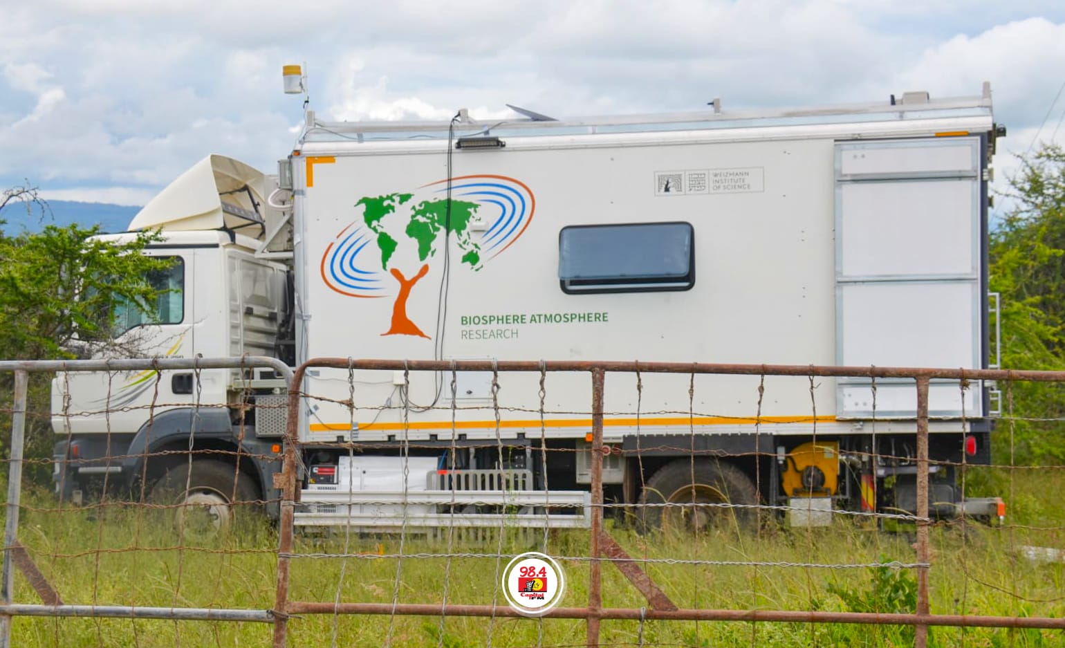
The Middle Eastern country of Israel has installed a mobile climate laboratory in Africa, specifically in Kenya, the first of its kind, establishing a field-based scientific platform aimed at strengthening the continent’s climate data infrastructure and improving environmental modeling accuracy.
The unit is based at the International Livestock Research Institute’s (ILRI) Kapiti research station in Machakos County and works in partnership with Israel’s Weizmann Institute of Science.
According to project scientists, one of the primary difficulties in African climate modelling has been a lack of dense, location-specific measurements.
Many global models are mainly based on distant sensing data, which frequently lacks local calibration.
Purpose of the mobile climate lab
The mobile unit is intended to bridge the gap by physically moving between ecosystems and collecting real-time, site-specific environmental data.
According to ILRI officials, the system also promotes practical agricultural research, which links climatic variability to livestock productivity, rangeland health, and food system resilience.
This makes the facility more than just a study tool; it also serves as a decision-support tool for environmental planning and agricultural optimisation.
It was designed as a modular, transportable system that reflects a manufacturing-style approach to climate research, with a focus on mobility, scalability, and repeated deployment across several ecological zones.
Unlike stationary observatories, the mobile lab is outfitted as an integrated measurement system, with over 30 high-precision instruments.
These technologies track critical environmental variables such as carbon exchange between land and atmosphere, solar radiation levels, water usage patterns, wind dynamics, and vegetation health.
Together, these inputs provide continuous, ground-level datasets that supplement satellite observations.
See here: Ethiopia launches powerful satellite data system in major push for digital transformation
Gideon Behar, Israel’s Ambassador to Kenya, stated that the program aims to strengthen the scientific foundation for policymaking by increasing access to verified environmental measures in locations where monitoring is restricted.
The project is intended to last three years, with deployments in additional natural zones such as Mount Kenya, followed by extensions into Tanzania and South Africa.
The researchers expect that the rotating model will help construct a more detailed continental climate dataset, supporting long-term improvements in environmental forecasting and resource management across Africa.
